Hiking Preikestolen, Trolltunga And Kjeragbolten: The Honest Difficulty Guide
Three rock ledges dominate every Norway hiking search, and only one of them is a half-day walk.
 Written with Lars Hansen, Norway Tour Packages Specialist & Experience Guide
Short answer
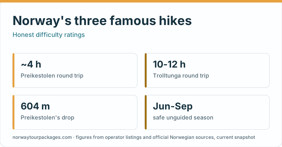
Preikestolen is moderate to difficult and takes about four hours round trip. Trolltunga is strenuous at 20 km and repeated ascents, needing about 7 to 10 hours from P3 or 8 to 12 from P2. Kjeragbolten sits between them in length but beats both for exposure. Independent summer hiking requires suitable fitness, equipment and conditions; winter needs specialist preparation.
Around 49,400 people had walked to Trolltunga by the middle of the 2025 summer season. In 2010 the figure for the whole year was about 800. That is the single most useful fact about hiking in Norway right now, because it explains everything from the queue for the photo to the rescue callouts to the fact that the trailhead parking is now a paid, tiered system. Three rock formations pull almost all of that traffic, and the gap in difficulty between them is much wider than the shared aesthetic suggests.
Choose by walking demands, trailhead and season before comparing the photo stops.
Booking choice: Preikestolen with Stavanger transfers is the starting recommendation for prepared hikers. Choose the Lysefjord boat if the climb does not suit you. Explore Guided Preikestolen Hike
Which Of Norway's Three Famous Rock Hikes Should You Choose?
Choose Preikestolen if you have half a day and average fitness, Kjeragbolten if you want exposure and can handle chains on steep rock, and Trolltunga if you can walk 20 kilometres from P3 or 27 kilometres from P2 over demanding mountain terrain. They are not interchangeable. The difficulty range across the three is roughly four to one.
The three sit in two different regions. Preikestolen and Kjeragbolten both overlook the Lysefjord near Stavanger, close enough to combine across two days. Trolltunga is inland above Ringedalsvatnet near Odda, a few hours away by road, and it does not pair conveniently with the other two.
| Hike | Round trip | Height gain | Time | Difficulty |
|---|---|---|---|---|
| Preikestolen | About 8 km | Around 500 m | About 4 h on the trail, plus transfers | Moderate to difficult |
| Kjeragbolten | About 9.6 km | Three climbs and descents | 6-10 h | Difficult, very exposed |
| Trolltunga from P3 | 20 km | Repeated ascents | 7-10 h | Strenuous |
Fitness is only half of it. Preikestolen is short but relentlessly stepped, which punishes knees on the way down more than lungs on the way up. Trolltunga is not technically hard at any single point, but it is long enough that most failures are pacing failures rather than strength ones.
How Hard Is Preikestolen, Honestly?
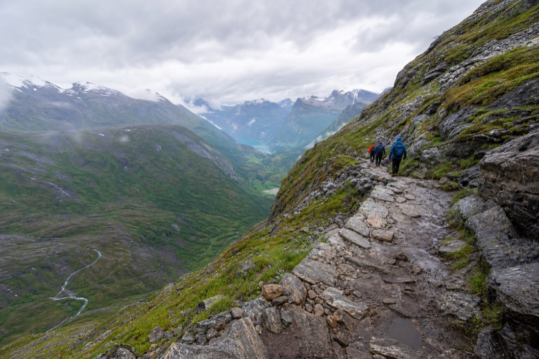
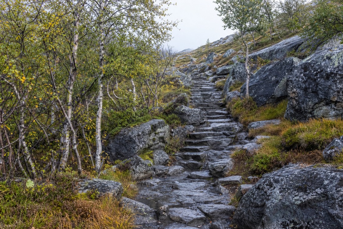
Preikestolen is the accessible one, and it is still a real hike. Around eight kilometres return with roughly 500 metres of ascent, allow about four hours on the trail plus separate travel to and from the trailhead. The path is stone-stepped, steep in sections, and busy from mid-morning.
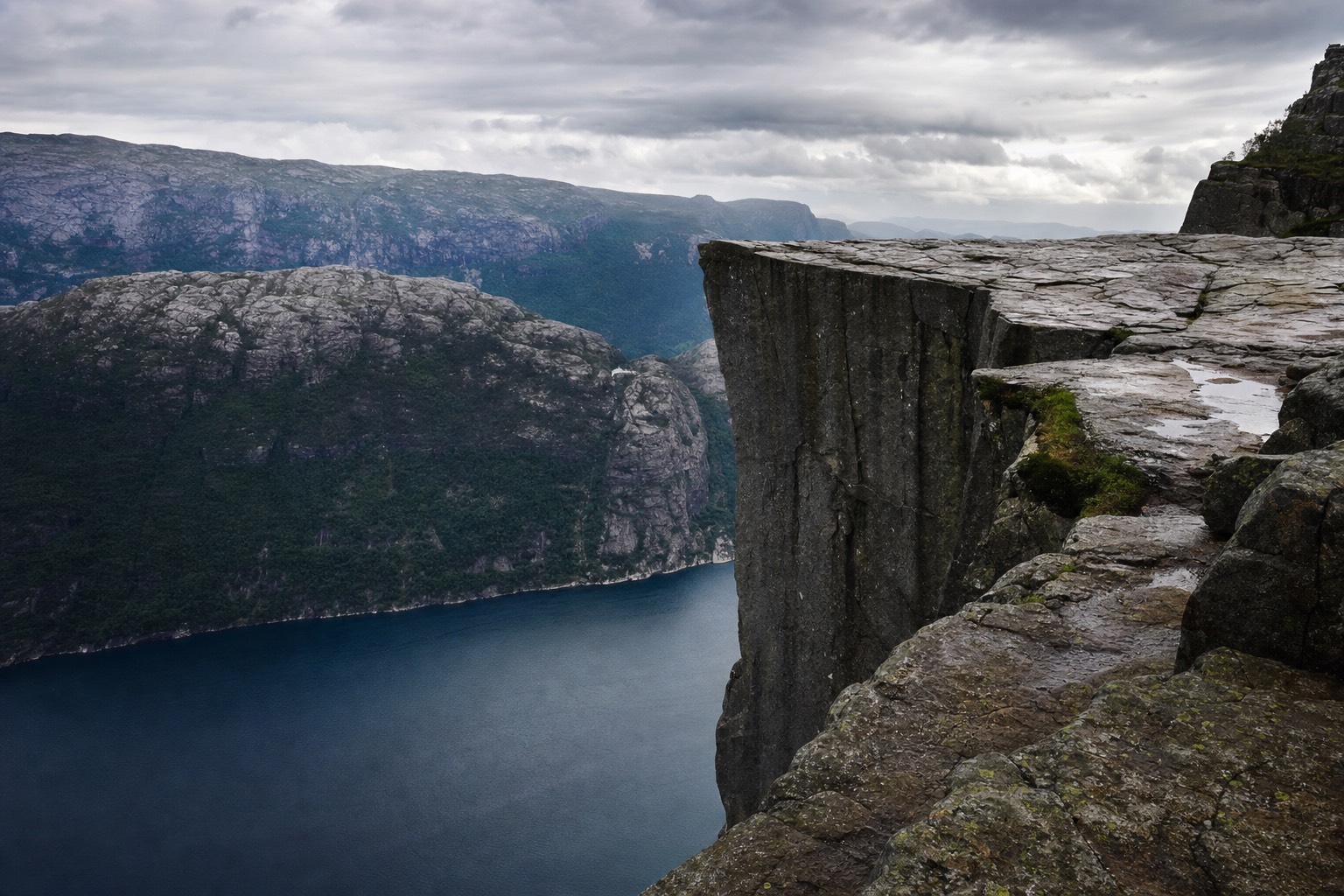
The plateau at the top sits 604 metres above the Lysefjord, and there is no railing, no fence and no barrier of any kind. That is the honest part most guides skip. The rock is broad enough that staying well back is easy, but the edge is a genuine edge, and wet stone plus a crowd of people angling for photographs is where the risk actually lives.
Sherpa-built stone steps cover much of the route, laid by Nepalese trail builders over several seasons. They make the path durable rather than easy. Going down is where trekking poles earn their space in a daypack.
Start early or start late. The parking area fills by nine on summer mornings, and the plateau is at its calmest before eight and after five. Fjord Norway publishes current trail and parking status, which matters more than you would think in a season when the lot can close outright.
What Does The Hike To Trolltunga Actually Demand?
Twenty kilometres round trip from P3, usually taking 7 to 10 hours; P2 adds distance for a 27-kilometre, 8-to-12-hour round trip. There are repeated ascents and exposed stretches, and the last hour back is done by many hikers on empty legs. It is a full day, not a photo stop.
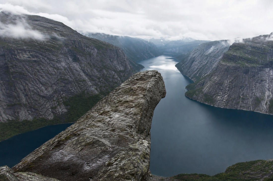
The parking tier changes the numbers considerably. From P3 it is 20 km; from P2 it is 27 km. The guided day below meets at P2. Starting lower adds distance and climbing, and the shuttle situation between the lots is the first thing to research once you have a date. Around 80,000 people now make the walk each year, up from roughly 800 in 2010, and the infrastructure has been rebuilt around that growth.
Timing is the lever nobody pulls. The trail is busiest between 12:00 and 15:00 from 20 June to 20 August, when waits of 30 to 60 minutes for the photo on the tongue are normal. Starting at six in the morning removes the queue and gives you the daylight buffer that a 10-hour hike needs.
| Start time | Photo queue | Daylight margin |
|---|---|---|
| 05:00-07:00 | Minimal | Large, finishes mid-afternoon |
| 08:00-10:00 | Moderate | Adequate |
| 11:00-13:00 | 30-60 minutes | Thin, headlamp likely |
| After 14:00 | Falling | Not advisable without a guide |
The official trail information is unusually frank about turnaround times, and it is the page to read the night before rather than the morning of.
Is Kjeragbolten As Dangerous As It Looks?
Stepping onto Kjeragbolten involves an exposed drop and is optional. The route itself is also demanding: three steep climbs and descents with chain-assisted sections, six to ten hours, and drops of nearly a kilometre to the Lysefjord.
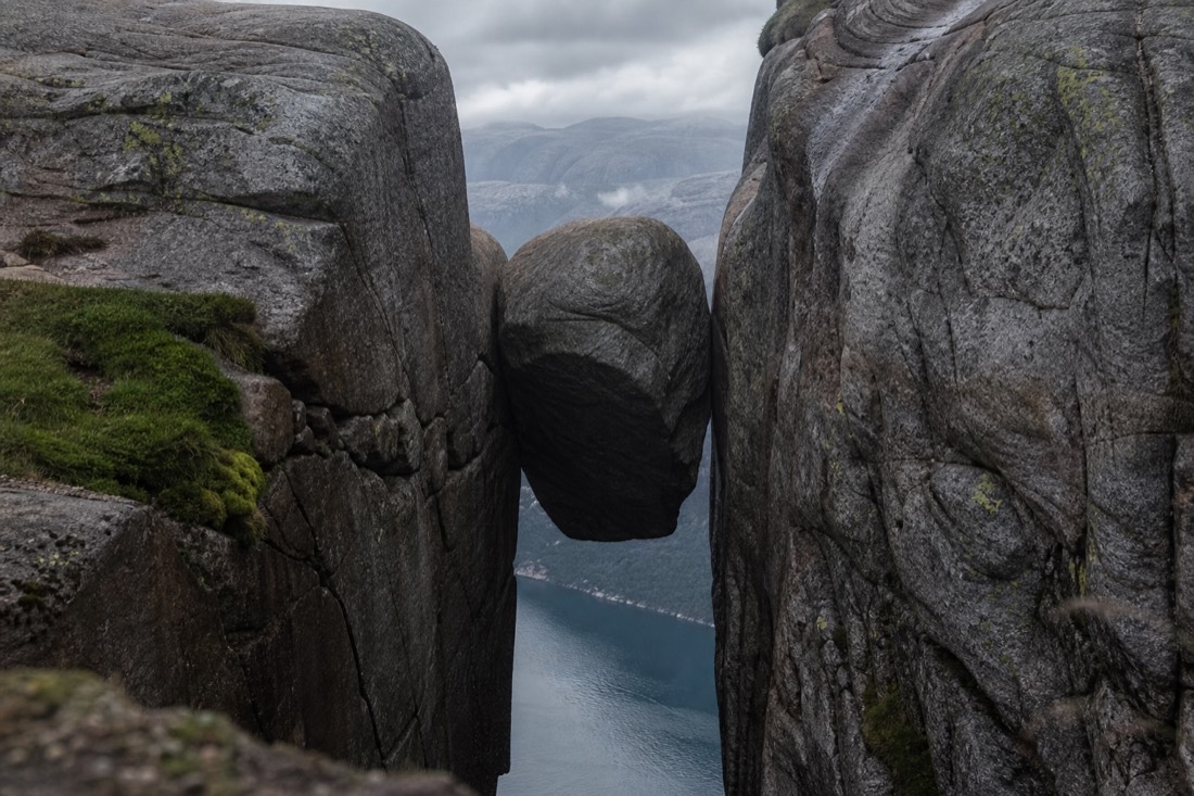
Kjeragbolten sits roughly 984 metres above the water. The exposure is constant rather than concentrated at the end, which is why people who are fine on Preikestolen sometimes turn back here. Fixed chains help on the steepest granite slabs, and they also tell you what kind of terrain you are on.
Weather decides this one more than the others. Wet granite is slick, and the plateau collects cloud that arrives faster than the forecast suggests. Check yr.no the morning of, and treat a marginal forecast as a no rather than a maybe. Nobody has ever regretted skipping Kjerag on a wet day.
If heights are a genuine problem for you, this is the hike to drop. There is no version of Kjeragbolten with less exposure, and the boulder is optional but the ridge is not.
When Can You Actually Hike Each Of The Three?
All three are summer hikes. Preikestolen has the longest usable window, roughly April to October, and can be done in winter with a guide and proper equipment. Trolltunga's unguided season is broadly mid-June to mid-September. Kjerag opens once the access road and snowfields clear, usually June.
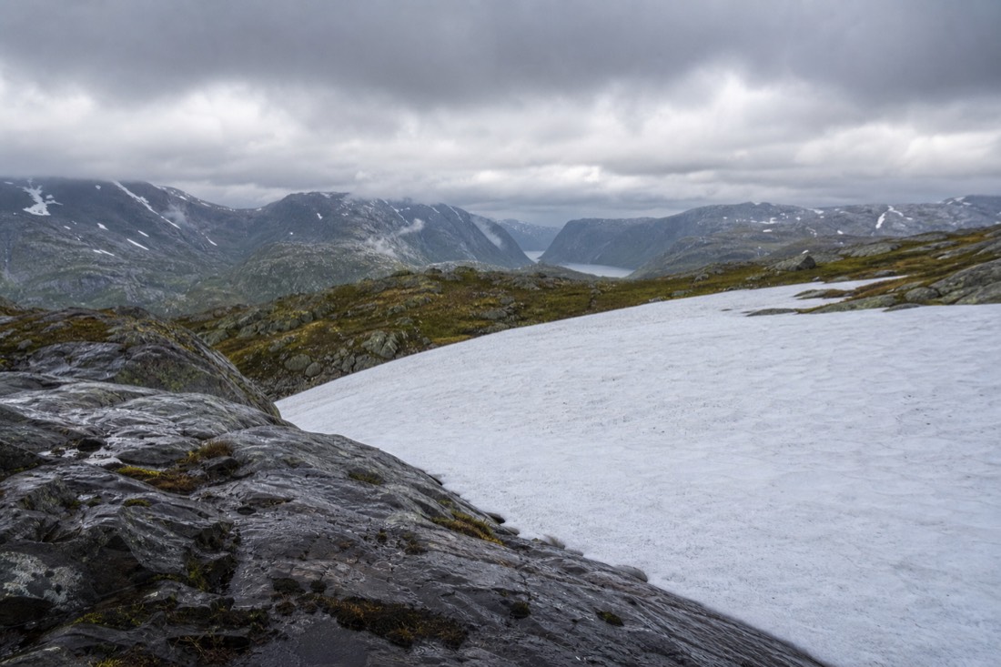
Snow is the limiting factor, not temperature. High sections hold snowfields well into June in a heavy year, and the marked route can be genuinely hard to follow when the cairns are buried. If you lack the skills and equipment for those conditions, choose a suitable guided outing or turn back.
| Hike | Comfortable unguided window | Guided extension |
|---|---|---|
| Preikestolen | April to October | Winter, with spikes and a guide |
| Trolltunga | Mid-June to mid-September | Shoulder weeks, snow route |
| Kjeragbolten | June to September | Rarely offered outside season |
Our best time to visit Norway guide covers how these windows overlap with the rest of a trip, which matters if you are also trying to fit fjord boats or aurora nights into the same fortnight.
What Happens If You Attempt These Outside The Season?
The route does not simply get harder, it changes category. Snow covers the cairns that mark the way, the exposed plateau sections become genuinely dangerous, and daylight shrinks to a few hours. Norwegian rescue services deal with visitors who read a summer trail description and arrived in May.
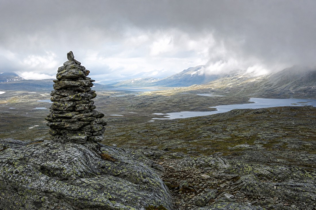
The season can change a demanding walk into a winter mountain outing requiring different skills and equipment.
| Hike | Practical season | Out of season |
|---|---|---|
| Preikestolen | About April to October | Snow and ice on the rock; guided winter trips exist |
| Trolltunga | Mid-June to mid-September | Long, exposed, genuinely dangerous |
| Kjeragbolten | Summer, road-dependent | Access road closed much of the year |
Trolltunga is the one where the season is a hard gate rather than a suggestion. It is a 10 to 12 hour day even in good conditions, and losing the light on that route is a serious situation.
How Much Water And Food Do These Hikes Really Need?
At least two litres per person for Preikestolen and considerably more for Trolltunga, plus food for longer than you plan to be out. There is nowhere to buy anything on any of these routes, and Trolltunga routinely overruns its estimate by hours.
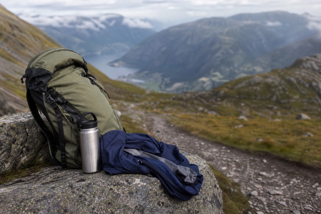
The equipment list for Norwegian day hikes looks over-cautious to visitors from milder climates until the first squall arrives. Nothing here is specialist; it is just more than people habitually carry on a day walk.
| Item | Why | Notes |
|---|---|---|
| Waterproof shell and trousers | Weather turns without warning | Not showerproof; genuinely waterproof |
| Warm mid-layer | Summits are far colder than trailheads | Wool or fleece, not cotton |
| 2 litres of water minimum | Long days, little shade | More for Trolltunga |
| Real hiking boots | Wet rock and loose ground | Trainers are the most common mistake |
| Food for longer than planned | Trolltunga routinely overruns | High-calorie, easy to eat |
| Head torch | Losing the light is the main hazard | Even on a day you expect to finish early |
| Charged phone and offline map | Coverage is patchy | Battery drains in cold |
Weather windows inside the season matter almost as much as the season itself. Norwegian mountain conditions turn within an hour, and long stretches are exposed; Trolltunga has emergency shelters, which are not planned rest accommodation. Checking the forecast the evening before is standard practice locally, and turning back is treated as an ordinary decision rather than a failure.
One more item earns its weight: a small kit with blister plasters and tape. Blisters end more Norwegian day hikes than fitness does, they are preventable once you feel the first hot spot, and there is nowhere on these trails to buy anything.
The head torch line is not padding. Trolltunga in particular has a long tail of walkers finishing in darkness, and a phone light does not last the descent.
Which Hike Should You Skip, And What Can You See Instead?
Skip Trolltunga unless you genuinely want a 10 to 12 hour mountain day. The photograph is famous, the walk is a serious undertaking, and the same Hardanger landscape is available from cruises and roads for a fraction of the effort.
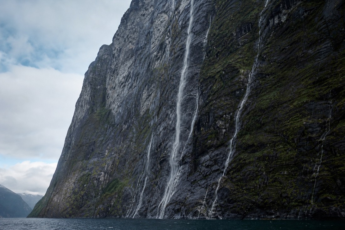
There is no shame in this decision, and it is the one Norwegian guides make for visitors most often. The three famous rock formations are not a checklist, and attempting the hardest of them because it is well known is how people end up needing help.
| If you cannot or would rather not hike | What gives you the same landscape |
|---|---|
| Trolltunga | Hardangerfjord cruise or the scenic road above it |
| Preikestolen | Lysefjord cruise from Stavanger, looking up at the cliff |
| Kjeragbolten | Lysefjord cruise; the drop is visible from the water |
| Any long summit day | Fløibanen or Ulriken cable cars in Bergen |
| High plateau scenery | The Bergen Line crosses it, seated |
Nothing else you decide affects the day as much.
Start times are the single biggest lever on how the day feels, on every one of these routes.
Guided options exist on all three routes and are worth considering out of peak season, when route-finding and conditions get harder.
The second row is worth taking seriously even if you are a strong walker. Seeing Preikestolen from below, with the scale of the cliff above the boat, is a genuinely different and arguably better perspective than standing on top of it in a queue.
How Do You Train For These Hikes If You Are Not A Regular Hiker?
Build time on your feet rather than speed, and practise descending. Allow about four hours of uneven-ground walking for Preikestolen, plus transfers, and a full mountain day for Trolltunga. Prepare for the descent as well as the climb.
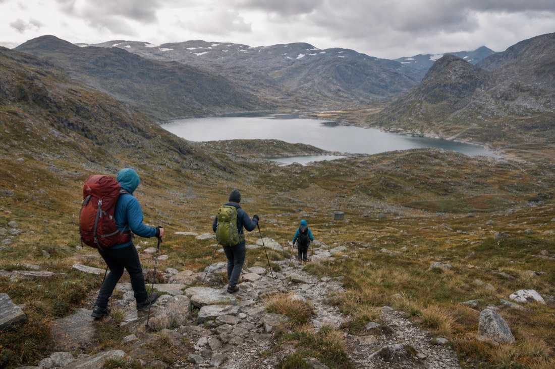
Most visitors who struggle on these routes are reasonably fit people who have never walked for eight hours on rock. Cardiovascular fitness transfers only partly; what matters is joint tolerance, foot conditioning and the specific demands of going downhill for hours.
| Preparation | Why it matters | How much |
|---|---|---|
| Long continuous walks | Time on feet is the real demand | Build to 4-6 hours before Trolltunga |
| Downhill practice | Descent causes most knee problems | Include real descents, not just climbs |
| Walking with a loaded pack | Water and layers add real weight | Train with what you will carry |
| Uneven ground | Norwegian trails are rock, not path | Trails, not treadmills |
| Break in your boots | Blisters end more hikes than fitness | Weeks, not days |
| Poles, if your knees complain | Meaningfully reduce descent load | Practise using them first |
Shuttle buses run in season on the busier routes and are usually the simpler option.
Parking and transport add a layer people forget. Trailhead car parks at all three routes charge, fill early in summer, and in some cases sit a shuttle ride from the actual start. Factoring an hour at each end of the day for getting to and from the trail is realistic rather than cautious.
Trolltunga is the one that genuinely requires this. A 10 to 12 hour day is a full mountain outing, and the section that catches people is the last two hours of return walking when the light is going and the legs have nothing left.
If the training window is short, take Preikestolen and enjoy it rather than taking Trolltunga and enduring it. The Lysefjord cruise beneath Preikestolen is also a genuinely good day, and nobody who takes it comes home feeling short-changed.
Do You Need A Guide, And What Gear Is Not Optional?
No guide is required for any of the three inside the summer season, and most people do them independently. Take a guide outside the season, in marginal weather, or on Trolltunga if you are unsure about a 10-hour day. Waterproofs, real boots, two litres of water and a headlamp are the minimum.
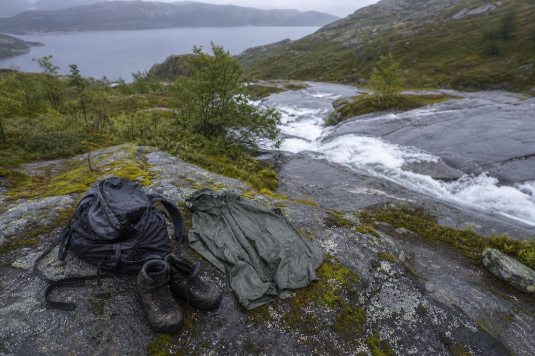
Norwegian weather does not negotiate, and the standard failure is a hiker in trainers and cotton three hours from the car when the cloud drops. Visit Norway and the mountain safety codes both hammer the same short list, and it has not changed in decades.
| Item | Preikestolen | Trolltunga | Why |
|---|---|---|---|
| Waterproof jacket and trousers | Yes | Yes | Rain arrives without warning at height |
| Ankle-supporting boots | Yes | Yes | Wet rock, loose stone, long descents |
| Drinking water and real food | Carry enough for the conditions and duration | Allow for a long day and delays | Do not rely on buying supplies on the route |
| Headlamp | Advisable | Essential | Late finishes are common |
| Trekking poles | Helpful | Very helpful | Saves knees on the descents |
| Layers, no cotton | Yes | Yes | Wind chill on exposed plateaus |
Related planning: Nærøyfjord boat trips, what to pack for Norway.
Crowds shape the experience more than the difficulty does on Preikestolen in particular. The rock platform itself is not large, and midday in July puts a queue on it for photographs, which is a different day out from the same walk started at first light.
One closing note on expectations. All three of these places are photographed from a single angle that hides the crowd standing behind the camera, and all three are better in weather that photographs badly. Cloud tearing off the Lysefjord walls is a better memory than a flat blue sky, even if the picture is worse. If you are building the hiking half of a trip around Stavanger, our take on whether Stavanger is worth visiting covers what the city gives you on the rest days, which on a two-hike trip you will want.
Choose Your Norway Experience
Guided hike to Pulpit Rock Preikestolen. Walk to Preikestolen with a local guide and transfers from Stavanger. Have a date in mind? Check it before arranging the rest of your Norway trip.
9 hours. Nine hours including transport. Stavanger hotel or Airbnb pickup is listed. Moderate fitness is required; bring your own lunch, water and hiking gear. A child fare alone does not establish hiking suitability.
Choose a date to see scheduled departures. Final availability and price are confirmed on Viator.
No verified experience fits those requirements. Adjust your choices, or keep the independent plan described above.
Compare Options And Fit Your Plans
General recommendation until you choose. Choose the city where the activity starts, not your arrival airport. Month filters describe the experience’s season, not confirmed departures. Allow travel to the meeting point as well as the listed duration. Confirm your exact option and access needs when booking.
- Trolltunga Day Hike: 12 hours. Trek to Trolltunga with a small group, guide, lunch and snacks. Ages 15–75, high fitness required. Allow 12 hours from the red kiosk at Skjeggedal P2. No transfer from Bergen is included. This is a demanding mountain hike.
- Guided hike to Kjerag and Kjeragbolten: 11 hours. Hike to Kjerag with a guide and round-trip transport from Stavanger. Eleven hours. Moderate to high walking demands; food and drinks are excluded. Stavanger hotel and Airbnb pickup is listed. Standing on the boulder is optional and not a safety guarantee.
- Stavanger Silent Lysefjord and Pulpit Rock Cruise by Hybrid Boat: 3 hours 30 minutes. See Preikestolen from below and cruise past Lysefjord waterfalls with an English-speaking guide. 3.5 hours from Strandkaien near Stavanger tourist information; arrive 15 minutes early. Lunch is excluded. The cruise does not take you onto the Preikestolen plateau.